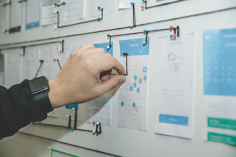
GIS can be much more than a map. We help organizations organize their geographic data, understand what it means, share it with others, and put it to work in the field.
A good map does more than display data. It helps people see what's important. We create clear, thoughtful maps for planning, communication, field work, presentations, reports, and projects that deserve a map people actually want to look at.
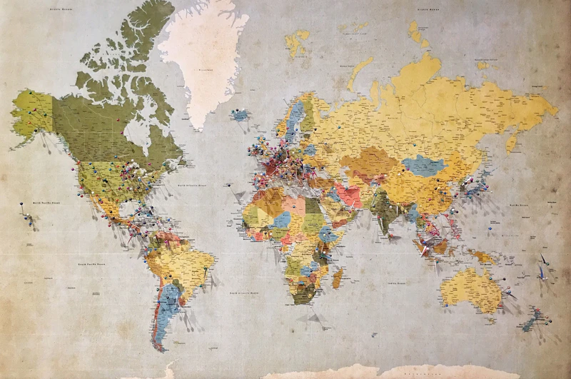
Good GIS starts with good data. We can help design, organize, clean up, and manage geographic databases so information is easier to find, maintain, update, and use.
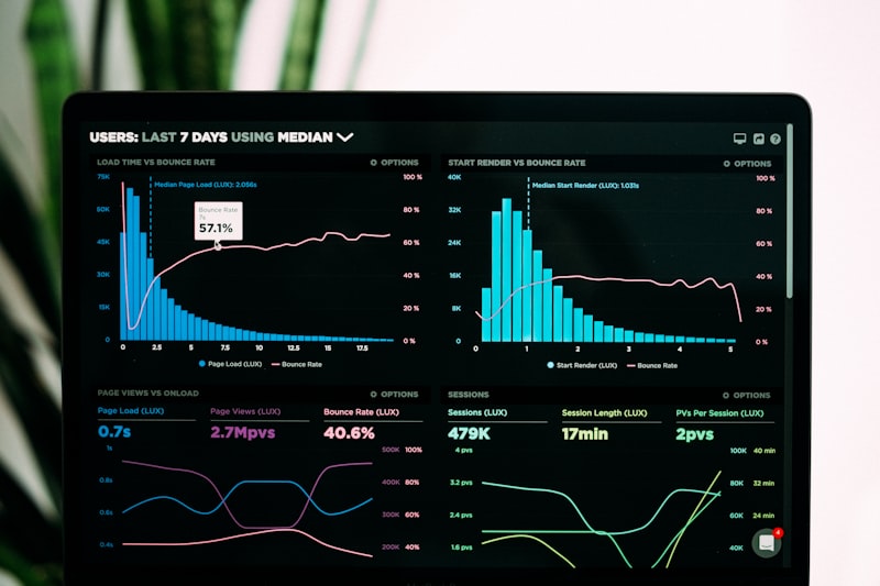
ArcGIS Online makes it possible to put useful GIS tools in the hands of more people. We create and configure online maps, applications, dashboards, and data services that make geographic information accessible wherever it's needed.

Collect information once and keep it connected to the rest of your GIS. We build practical field workflows using Field Maps, Survey123, and QuickCapture, helping teams collect, update, and access information from wherever the work happens.

Location can reveal patterns that aren't obvious in a spreadsheet. We use spatial analysis to explore relationships, identify patterns, evaluate locations, and help turn geographic data into information that supports decisions.
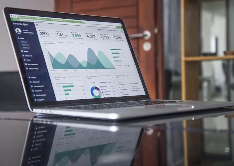
GIS works best when your tools and data work together instead of creating more work. We connect ArcGIS Pro, ArcGIS Online, and field applications to create smoother workflows, reduce repetitive tasks, and help teams get more out of the GIS they already have.